GIS IT SOLUTIONS
GIS engineers provide consulting & services covering accurate positioning and spatial data management to recognize geographical patterns visible only through GIS mapping solutions.

GIS
GIS engineers provide consulting & services covering accurate positioning and spatial data management to recognize geographical patterns visible only through GIS mapping solutions.
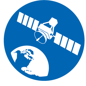
Remote sensing
Remote sensing is the process of detecting and monitoring the physical characteristics of an area by measuring its reflected and emitted radiation at a distance
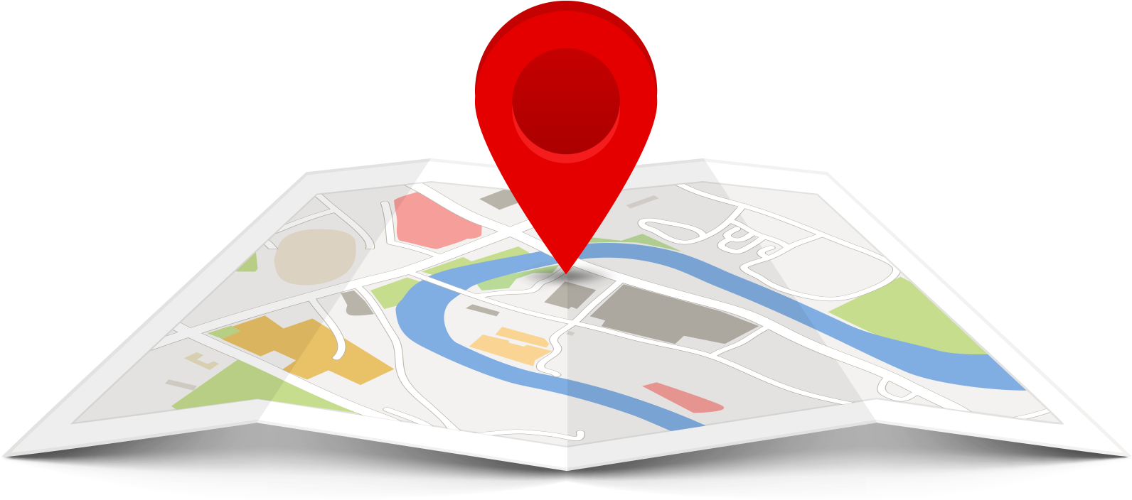
Mapping
Maps present users with legible information that raw data can’t display on its own. GIS mapping, which transforms data into maps is the most effective way to display geographical data.

3D GIS
3D GIS brings real-world context to your maps and data. Instantly transform your data into smart 3D models and visualizations that help you analyze and solve problems and share ideas and concepts with your team and customer
Mapping
GIS mapping is the process of inputting data layers into GIS software to produce a map. Maps present users with legible information that raw data can’t display on its own. GIS mapping, which transforms data into maps is the most effective way to display geographical data.

Features
What We Offer
GIS IT Solution provides numerous GIS services to its clients all over the world. The GIS data conversions allow data from different sources to be merged in one common format, which allows for easy access, analysis and utilization.
Engineering Services
GIS enables civil engineers to easily manage, reuse, share, and analyze data, saving time and resources. GIS lets you easily author data, maps, globes, and models on the desktop.
Remote Services
Remote sensing is the process of detecting and monitoring the physical characteristics of an area by measuring its reflected and emitted radiation at a distance
IT Solutions
Explore a collection of GIS IT Solutions that can help you manage authoritative data, gain new insight, and deliver key capabilities.
Contact Us
+351920512351
Rua LUIS de Albuquerque N8, 2ESQ NOVA VILLA CAPARICA PORTUGAL
Monday-Saturday: 10am – 6pm
Office# 207, 2nd floor The land Mark Heights Service Road East, karal Bridge, Islamabad
Monday-Saturday: 10am – 6pm
Get Started
Our experts apply hands-on experience in geospatial data services and advanced GIS software solutions to build digital twins, cloud platforms, and customer-centric solutions for a GIS solutions company